1
Which of the following Indian states shares the longest international border with Bangladesh?
By Priya Sharma · Static GK Expert
A comprehensive collection of 20 MCQs covering the geographical boundaries, borders, and relations between India and its neighbouring nations.
Which of the following Indian states shares the longest international border with Bangladesh?
The 'Radcliffe Line' defines the boundary between India and which country?
Which Indian state shares a border with three countries: Nepal, Bhutan, and China?
The 'McMahon Line' is the boundary between India and which country?
Which country is separated from India by the Palk Strait and the Gulf of Mannar?
Which Indian state has the longest land border with China?
The 'Durand Line' historically represents the boundary between India (now Pakistan) and which country?
Which Indian state shares its international border with Myanmar?
Which of the following countries does NOT share a land border with India?
The 'Three Bigha Corridor' is a strip of land connecting India with which country?
Which Indian state shares borders with both Nepal and Bhutan?
India's border with which country is known as the 'Zero Line' in certain sections?
Which of these pairs of country and their capital is incorrectly matched?
Which country is India's smallest neighbouring country in terms of land area?
Which Indian Union Territory shares a land boundary with Pakistan?
Which river forms a natural border between India and Nepal?
Which country has the highest number of Indian states sharing a land border with it?
The 'Chumbi Valley' is located at the tri-junction of which countries?
Which of these states does NOT share a border with Bangladesh?
How many Indian states share a land border with Pakistan?
The 'Sir Creek' dispute involves the maritime boundary between India and which neighbouring country?
Which of the following Indian states acts as the 'Gateway to Bhutan' due to its shared borders with the Himalayan kingdom?
India's border with which country is guarded by the 'Sashastra Seema Bal' (SSB)?
Which of the following Indian states shares the longest border with Myanmar?
The 'Lipulekh Pass', often in the news for connectivity issues, is located on the border between India and which country?
Which among the following Indian states does NOT share a border with Myanmar?
What is the approximate total length of India's land frontier?
Which neighbouring country is separated from India by the narrow 'Khaiber Pass' region in the historical context?
The 'Dodak' or 'Dogra' sector is situated along the Line of Control between India and which country?
Which Indian state has a border with both China and Myanmar?
Which country signed the 'Panchsheel Agreement' with India in 1954 regarding the border trade and relations?
Which of these pairs represents a country and the Indian state with which it shares the longest border?
How many Indian states/Union Territories share a land border with China?
Which island is located in the Gulf of Mannar, near the coast of India and Sri Lanka?
The 'Nathu La' Pass is an important trade route connecting India with which country?
Which country is the only one to share a border with the Indian state of Meghalaya?
The 'Line of Actual Control' (LAC) is the effective border between India and which country?
Which of the following is NOT an Indian state that shares a border with Nepal?
India's border with which country is known as the 'Redcliffe Line'?
Which Indian state has the maximum number of neighbouring countries as its borders?
Which Indian state serves as the common tri-junction point for the borders of India, China, and Myanmar?
The 'Karakoram Pass' is a vital mountain pass situated on the border between India and which neighbouring country?
Which of the following Indian states does NOT share its border with Nepal?
The border of India with which country is guarded by the 'Indo-Tibetan Border Police' (ITBP)?
Which river acts as a significant natural boundary between India (specifically Uttarakhand) and Nepal?
Which is the longest international land border shared by India with a neighbouring country?
The 'Mana Pass' (Dungri La) connects India with which of its neighbours?
Which state of India has the longest coastline among states bordering the Bay of Bengal and sharing maritime vicinity with other nations?
India's border with Myanmar is protected by which paramilitary force?
Which Indian state has the unique distinction of sharing its borders with Bangladesh, Bhutan, and Nepal?
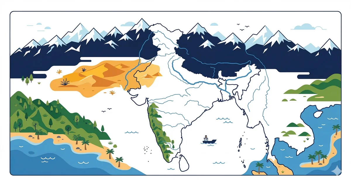
India shares its land boundaries with seven countries. These borders are a critical component of the UPSC and SSC geography syllabus, often appearing in static GK sections.
---
Understanding the specific states sharing borders is essential for map-based questions in competitive exams.
---
To score well in SSC or UPSC geography, memorize these frequently asked facts:
India's neighbouring countries MCQ is a high-yield topic covering India's land and maritime borders with 9 neighbours: Pakistan, China, Nepal, Bhutan, Bangladesh, Myanmar, Sri Lanka (maritime), Maldives (maritime), and Afghanistan (a very short contested border in PoK). Questions focus on border names, bordering states, capitals, and key geographic features shared with each neighbour.
India shares the longest border with Bangladesh (~4,156 km), followed by China (~3,488 km), Pakistan (~3,323 km), Nepal (~1,751 km), Myanmar (~1,643 km), Bhutan (~699 km), and Afghanistan (~106 km — in PoK territory). Key border names: Radcliffe Line (India–Pakistan/Bangladesh), McMahon Line (India–China, eastern sector, not accepted by China), Line of Control (India–Pakistan in J&K), Line of Actual Control (India–China).
Bangladesh shares the longest land border with India at ~4,156 km, running through West Bengal, Assam, Meghalaya, Tripura, and Mizoram.
The McMahon Line is the boundary between India and China in the eastern sector (Arunachal Pradesh), drawn in 1914 at the Simla Convention. China does not recognise it and claims Arunachal Pradesh as 'South Tibet'.
About the Author
Indian History · Geography · Polity & Economy Specialist
With 8+ years of teaching static GK for competitive exams, Priya has helped thousands of students master the foundational subjects that appear year after year in UPSC, SSC, and Railway exams. She focuses on making history, geography, and polity approachable through well-structured MCQs and memorable explanations.