1
Which Indian state shares its international boundary with three countries: Nepal, Bhutan, and China?
By Priya Sharma · Static GK Expert
A comprehensive collection of 20 high-quality objective questions focusing on the geographical, historical, and constitutional aspects of Indian States and Union Territories.
Which Indian state shares its international boundary with three countries: Nepal, Bhutan, and China?
The Union Territory of Dadra and Nagar Haveli and Daman and Diu was merged into a single UT in which year?
Which state has the longest coastline in India?
Which among the following states is known as the 'Land of Seven Sisters'?
Which is the smallest Union Territory of India in terms of total land area?
Which Indian state has the maximum number of neighboring states?
The capital of Lakshadweep is:
Which Indian state was the first to be created on a linguistic basis?
Which of the following states does not share a border with Myanmar?
In which state is the 'Palk Strait' located?
Which state has the lowest population density as per the 2011 Census?
The 'Ten Degree Channel' separates which of the following?
Which is the only state in India that has a common border with only one other state?
Which Union Territory has its own elected Legislative Assembly?
What is the total number of states and union territories in India currently?
Which Indian state is known as the 'Rice Bowl of India'?
The capital of the Union Territory of Ladakh is:
Which state has the largest geographical area in India?
Which of these states does not share a border with Pakistan?
Which mountain pass connects the state of Himachal Pradesh with Tibet?
Which of the following states shares a land border with Bhutan, but does NOT share a border with Nepal?
Which state of India shares its longest international land border with Bangladesh?
The 'Seven Sisters' of Northeast India collectively exclude which of the following states?
Which state acts as the only connecting link between North India and the Northeastern states via the Siliguri Corridor?
Which of the following Union Territories consists of four districts that are geographically separated from each other?
Which Indian state has the unique distinction of having a coastline on both the Arabian Sea and the Bay of Bengal?
Which state shares the maximum number of international borders?
In which state is the 'Barak Valley' located, known for its tea gardens and proximity to the Bangladesh border?
Which of these states was formed following the Reorganisation Act of 2000?
The 'Duncan Passage' is located between which two islands in the Union Territory of Andaman and Nicobar?
Which state in India is the largest producer of minerals by value and does not have a coastline?
Which is the most populous Union Territory of India according to the 2011 Census?
Which of these states shares a border with only one Indian state?
The 'Kachchaitivu' island is a matter of dispute between India and which neighbor, affecting which state's maritime boundary?
Which state has the lowest percentage of forest cover in India?
Which of the following is the largest district of India by area?
Which Indian state has the 'Bodo Territorial Region' (BTR) within its administrative jurisdiction?
Which state is known as the 'Gateway of Northeast India'?
The 'Lakshadweep' group of islands are of what origin?
Which mountain range runs through the state of Rajasthan, acting as a watershed?
Which Indian state has the highest percentage of geographical area under forest cover as per the latest ISFR report?
The 'Seven Sisters' of Northeast India collectively exclude which state, which is often called the 'Brother'?
Which of the following Indian states does not share a border with Bangladesh?
The capital of which state was formerly known as 'Trivandrum'?
Which state is known as the 'Land of the Dawn-lit Mountains'?
Which Indian state has the highest number of districts?
In which state is the 'Bastar' district located, known for its rich tribal culture and forest resources?
Which Union Territory does not have any coastal boundary?
The state of Nagaland was carved out from which state in 1963?
Which of these states shares a boundary with the maximum number of Union Territories?
The political map of India has undergone significant transformation since independence. The current administrative structure is defined by the Constitution of India.
As of current records, India comprises 28 States and 8 Union Territories. Understanding the nuances of these regions is essential for UPSC and SSC aspirants.
States and Union Territories MCQ is a fundamental topic in Indian geography for competitive exams. India has 28 states and 8 Union Territories (as of 2024, after J&K's reorganisation in 2019). Questions cover capitals, the largest/smallest state by area or population, borders with neighbouring countries, and the formation of new states.
Rajasthan is the largest state by area (342,239 sq km). Goa is the smallest state. Uttar Pradesh is the most populous state. Sikkim is the least populous. Telangana, India's youngest state, was carved out of Andhra Pradesh on 2 June 2014. J&K was bifurcated into two UTs — J&K (with legislature) and Ladakh (without legislature) — on 31 October 2019.
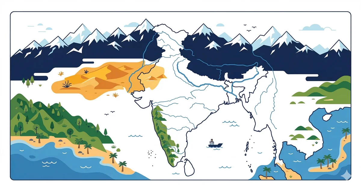
Border states are tested regularly. States bordering Pakistan: J&K, Ladakh, Punjab, Rajasthan, Gujarat. States bordering China: Ladakh, Himachal Pradesh, Uttarakhand, Sikkim, Arunachal Pradesh. States bordering Bangladesh: West Bengal, Assam, Meghalaya, Tripura, Mizoram. States bordering Nepal: Uttarakhand, UP, Bihar, West Bengal, Sikkim. States bordering Bhutan: Sikkim, Assam, Arunachal Pradesh, West Bengal.
India has 28 states and 8 Union Territories as of 2024. The most recent change was the bifurcation of J&K into two UTs (J&K and Ladakh) on 31 October 2019.
Gujarat has the longest coastline among Indian states (~1,600 km). Andhra Pradesh is second. If we include island territories, Andaman & Nicobar Islands add significantly to India's total coastline of 7,516.6 km.
About the Author
Indian History · Geography · Polity & Economy Specialist
With 8+ years of teaching static GK for competitive exams, Priya has helped thousands of students master the foundational subjects that appear year after year in UPSC, SSC, and Railway exams. She focuses on making history, geography, and polity approachable through well-structured MCQs and memorable explanations.